Aerial Intelligence

Thermal Imaging
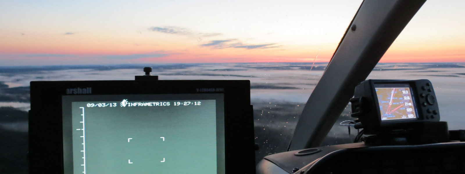
Our proficiency in thermal imaging empowers us to work together with clients, surpassing expectations in environmental analysis, thermal fault detection, pipeline inspection, and fire suppression endeavors.

Image and Data Processing
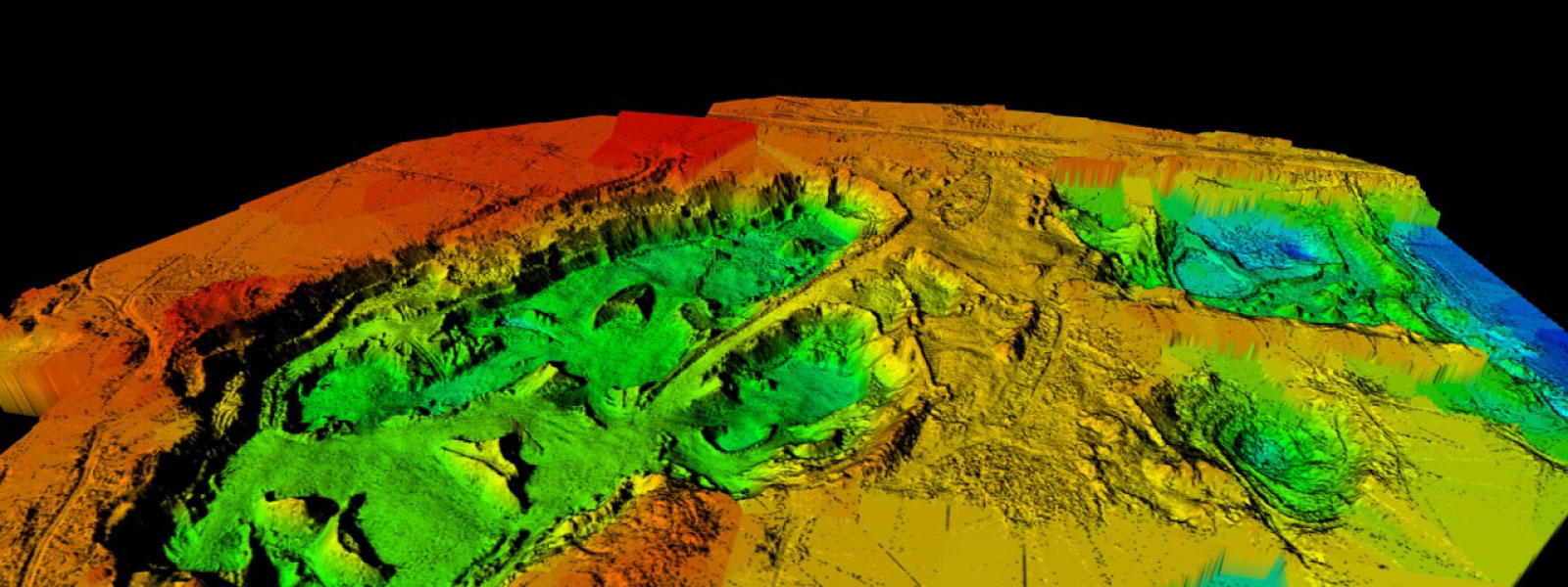
Whether we are handling your image acquisition or processing your proprietary data, Taigas’ team of GIS experts collaborate with you to analyze and interpret your spatial data.

RPAS Services
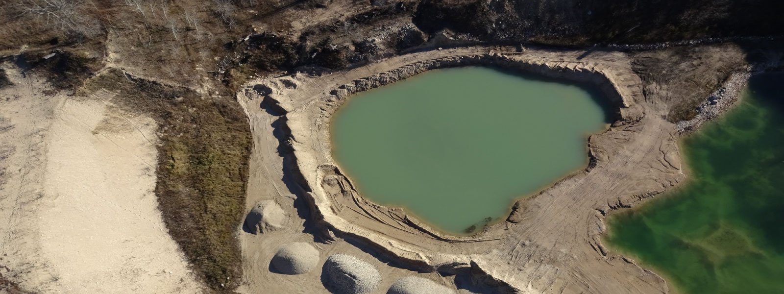
Taiga’s remotely piloted aircraft systems allow for the execution of specialized aerial data and image acquisition projects as well as select wildfire applications.

Aerial Photography / Film
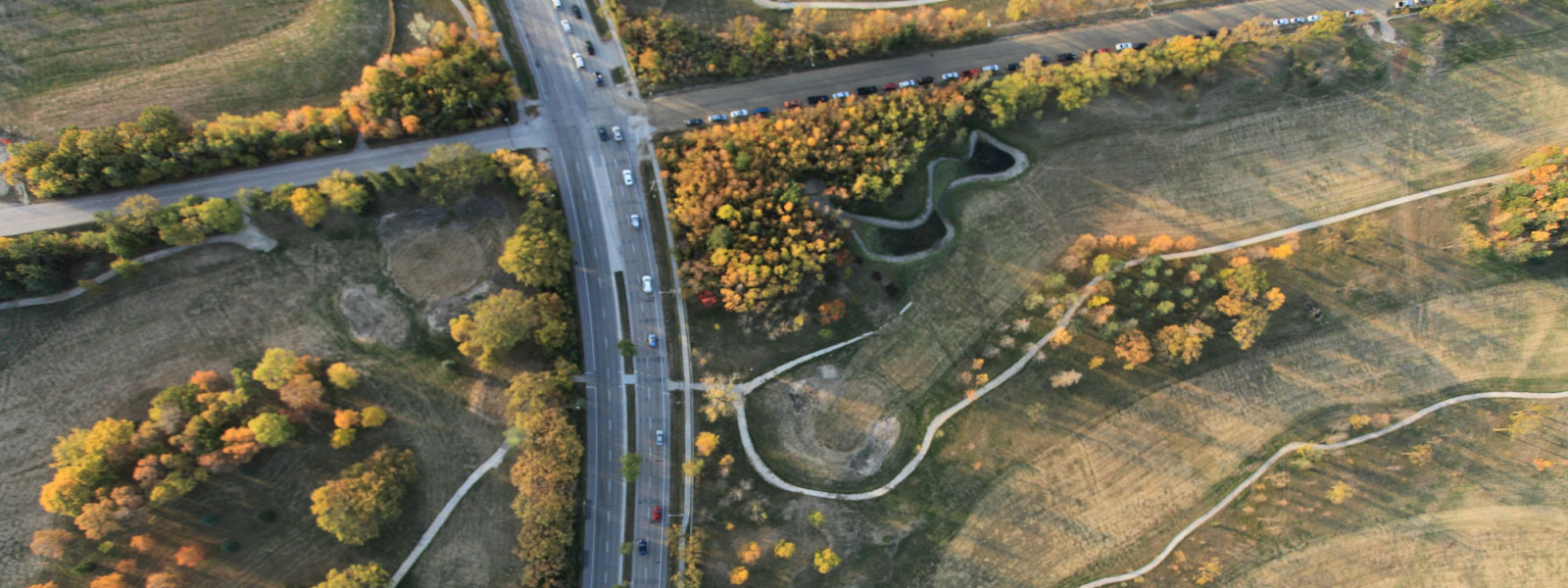
Taiga has proven expertise both behind and in front of the camera. Our helicopters have been customized with camera specific mounts to simplify installation and meet your project needs.
