Image and Data Processing
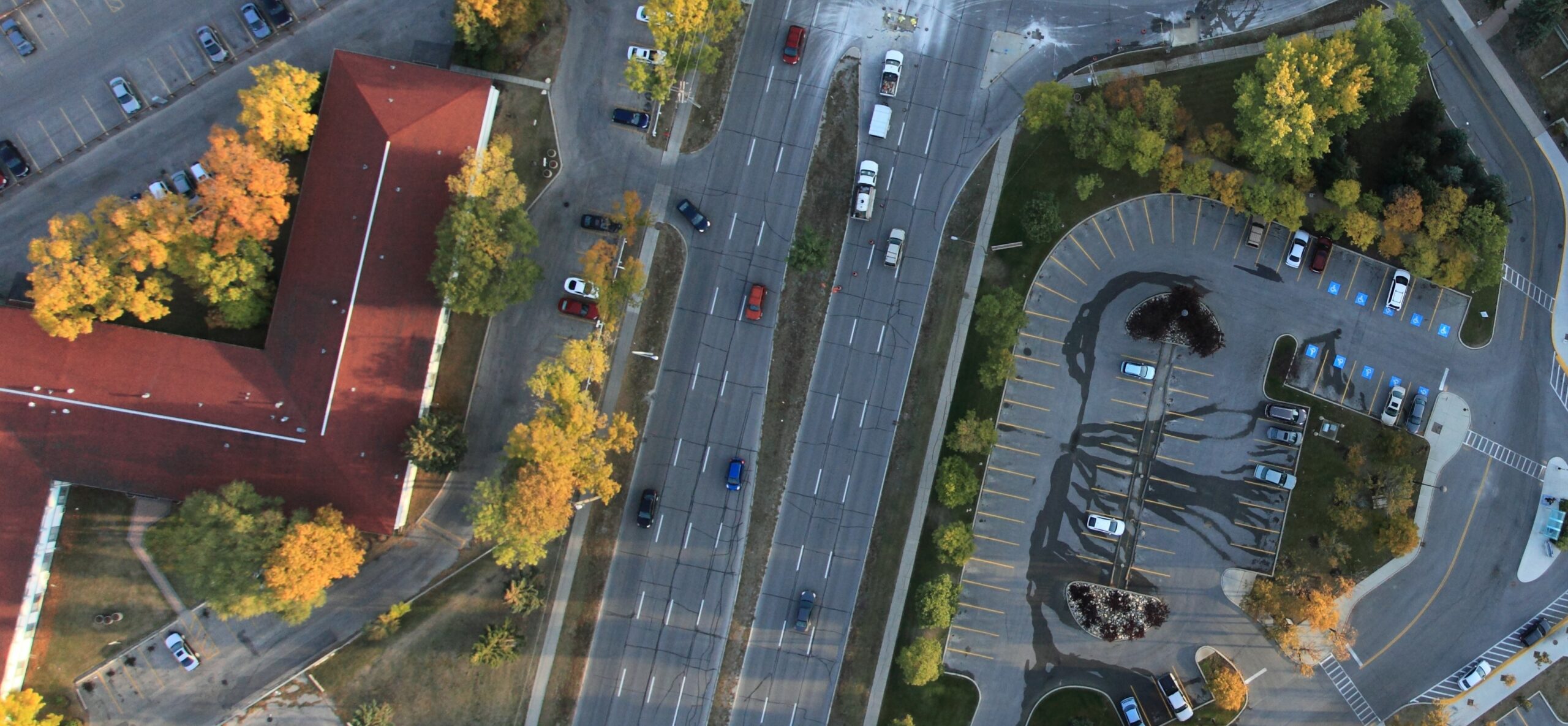
Orthomosaic Imaging
Our skilled GIS team can provide clients with extremely detailed and well-constructed orthomoasic images with a wide range of applications including:
- Environmental monitoring
- Disaster preparation and response
- Engineering and construction
- Telecommunications and utilities
- Agriculture
Digital Elevation Models
Digital elevation models produced from recent aerial imagery provide you with accurate and detailed assessment of current topography. These models are critical for:
- Infrastructure management
- Hydrological studies
- Land change analysis
- Land-use planning
3D Modelling
3D models, in the visual or thermal spectrum, allow our clients to obtain detailed information about structures to determine if maintenance is needed. Specific uses of this surface include:
- Powerline inspections
- Tower inspections
- Architecture
- Engineering and construction
Video Layouts
Layouts for our aerial videos are made specifically to meet individual customer needs and standard requirements. Options that are available include:
- Moving maps
- Coordinates
- Branded content
- And more!

Our Fleet is Equipped with
the Best Technologies
Connect with us.
Taiga Air Services
Winnipeg International Airport (CYWG)
2-2450 Saskatchewan Avenue
Winnipeg, MB, R3J 3Y9
1-204-943-3645
